 ArcPad® 8
Map navigation
 ArcPad® 7
|
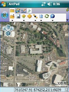
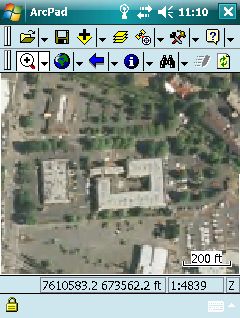
ArcPad - THIS SOFTWARE IS RETIREDArcPad® Field Data Collection SoftwareESRI's ArcPad software is used for mobile mapping and geographic information system (GIS) technology. ArcPad provides database access, mapping, GIS, and global positioning system (GPS) integration to users out in the field via handheld and mobile devices. Data collection with ArcPad is fast, easy, and significantly improved with immediate data validation and availability. ArcPad is a mobile mapping and geographic information system (GIS) software. ArcPad takes advantage of mobile computing and input devices such as GPS, rangefinders, and cameras to provide workers with the tools to collect, edit, update, and query GIS data in the field. Data collection with ArcPad is efficient and significantly improved with immediate data validation and availability. The end result of using ArcPad is a GIS database that is accurate, complete, consistent, and current. This leads to more accurate analysis and better decision-making. ArcPad leverages existing mapping and GIS software systems and databases. ArcPad supports vector map and raster image display including numerous industry-standard formats. In addition, ArcPad supports most of the symbology used in ArcGIS Desktop, enabling you to display layers in your mobile GIS applications using the standards of your organization. ArcPad provides a comprehensive set of tools users need for collecting and capturing data in the field including redlining using a graphics layer, and extensive support for capture devices such as GPS receivers, rangefinders, and cameras. What Can You Do with ArcPad?
|
ArcPad Features
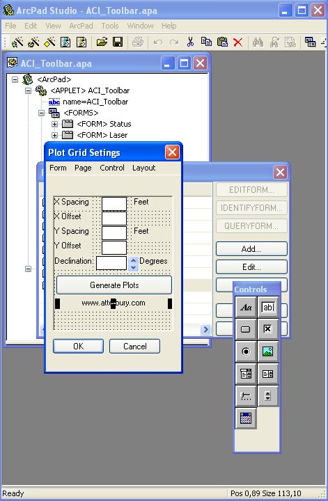
ArcPad® Studio with a project in progress With ArcPad® Studio you can customize data input forms and create new ArcPad® applications. |
||||||||
|
Contact Us for Pricing
|
|||||
| All Site Contents ©, Atterbury Consultants, Inc. 2023 |